Cities vs Postal Cities
Overview
Clarifying LiveBy's boundaries is essential, particularly when distinguishing between "City Boundaries" and "Postal City Boundaries." Though the terms may sound similar, they serve distinct purposes and delineate different geographical areas.
City vs Postal City
City Boundaries pertain to the official, legally defined borders of a city as established by local or regional government entities. Conversely, Postal City Boundaries are defined by postal services to optimize mail delivery and may not align precisely with official city limits.
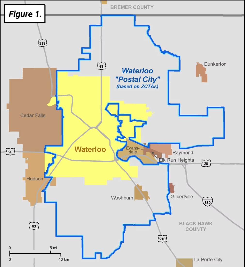
LiveBy's City layer prominently features Census Incorporated Places, specific geographic areas designated by the U.S. Census Bureau for statistical purposes, covering only 3.5% of the total land area of the country. In contrast, USPS postal cities provide a broader and more comprehensive coverage, spanning the entire nation.
Notably, Postal Cities offer familiarity to individuals by directly corresponding to the city names in their postal addresses.
To visually illustrate this difference, Figure One outlines the distinctions between the official city boundary (highlighted in yellow) and the postal city area (outlined in blue).
Form more information, please reference the USPS City Versus Census Geography documentation provided by the U.S. Census Bureau.